Dashboard is a visual service where you can easy work with satellite imagery and weather data for your polygons.
Draw your polygon on the map and immediately get:
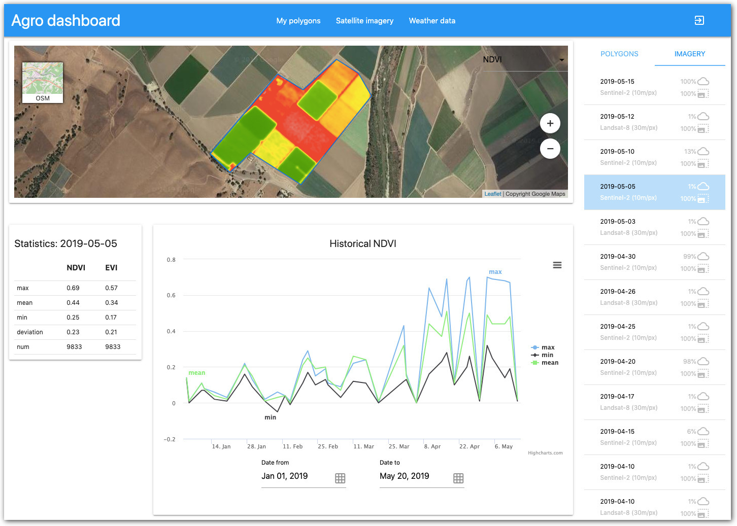
New Satellite imagery every 2-4 days
NDVI & EVI vegetation indices and its statistics
Hourly and Daily weather forecasts
Current & Historical weather data
Accumulated tempreture and precipitation
Historical NDVI chart
The Dashboard services are based on our Agriculture API to satellite imagery and weather data that you can always integrate into your agricultural applications and visualise them the same or any other way.
Wednesday, March 11, 2020